About Our Northern Monitoring Services

C-CORE provides several satellite monitoring services to Northern communities, providing increased safety and risk response to these areas. These services also provide a positive economic impact by reducing costs associated with Northern transportation.

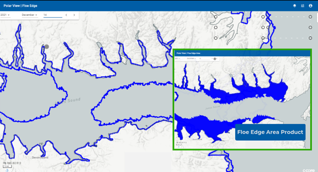
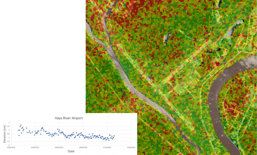
The use of satellite-based remote sensing allows C-CORE to provide Northern Transportation Infrastructure monitoring, and support safer and more cost-effective transportation in changing Northern environments.
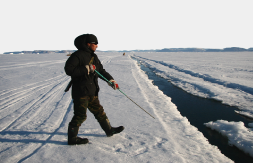
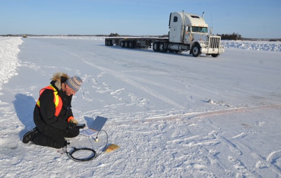
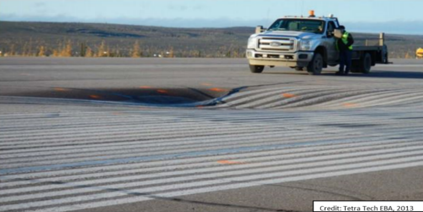
The target infrastructure includes paved/unpaved runways and highways in permafrost environments, ice roads on rivers and lakes, and sea ice travel on land-fast ice.

Key outcomes include the operationalization of remote sensing monitoring for transportation infrastructure, forecasting risks such as ice break-up, and supporting operational decision-making.

Services

Floe Edge

The Floe Edge Monitoring Service provides near real-time sea ice imagery and information to Canadian arctic communities using an online delivery system. The purpose of the service is for safe navigation both on and off the ice. We provide up-to-date information on floe edge location, regions of land-fast ice, movement of land-fast ice, tidal cracks, polynyas, and mobile ice floe tracking.

Identifying locations of interest on the ice edge and selecting the shortest route around ice ridges and open water helps minimize travel time, fuel costs and equipment wear, as well as helps maximize the safety of travel on the ice, particularly as climate change is rendering traditional knowledge of the icescape less reliable.

Learn more.

Ice Roads Monitoring

Climate change is affecting the stability of ice roads in Northern environments. The availability of new satellite technologies enables the monitoring of these ice roads in order to determine ice growth and safe use forecasting. Using this new technology, our service provides ice road products to support decision-making for ice road closures based on data-driven scientific methods.

Infrastructure Monitoring

Many highways and runways in Northern environments are built on permafrost, meaning climate change is affecting their stability and safety. Using the latest satellite technologies, C-CORE can monitor paved and gravel roads/runways to forecast, detect, and report on potentially dangerous areas.

Inuvik Runway Deformation (2013)

                                                  Hay River 2016-2018