Overview

Monitoring solutions that protect the environment, improve operational performance and ensure the safety and security of people and infrastructure.

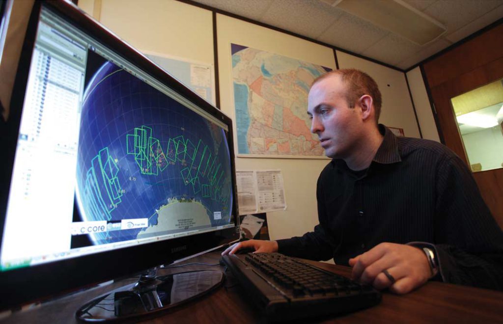
C-CORE provides custom solutions based on client need, selecting and integrating the most appropriate combination of satellite and other sensor data to deliver information and actionable insights in the most timely and cost-effective manner.

Expertise

Our 30+ remote sensing engineers and scientists represent the largest concentration of diverse remote sensing expertise in Canada, dedicated to advancing the use of space technologies for safe, efficient, environmentally responsible and sustainable activities on Earth. For more than 35 years we have worked to expand the range of information that can be derived from satellite data to provide environmental information and actionable insights for end-users in the resource development, environmental stewardship, and defence/security sectors.

24/7, near-real-time services and products are available for:

  • Ice Environment Characterization
  • Iceberg Surveillance
    (detection & tracking)
  • Sea Ice Charting
    (ice edge, thickness/safety, drift)
  • River Ice Monitoring
    (location, extent, thickness)
  • Oil Slick/Seep Detection
    (location, size, natural hot spots)
  • Security Surveillance/Encroachment Monitoring
    (unauthorized/unanticipated proximity)
  • Infrastructure Monitoring
    (integrity, stability)
  • Water Quality Monitoring
    (temperature, sediment, chlorophyll, bacteria, etc.)

Monitoring Ottawa's new Light Rail Transit corridor

image

Helping ensure the safe and timely construction of Ottawa’s new transportation infrastructure, C-CORE is continuously monitoring the OLRT corridor for ground movement during excavation/construction. Using satellites 800km above the Earth, we are measuring ground deformation as small as 3 mm.

View Case Study

Wetland mapping and monitoring

image

Wetlands play an important role in environmental health, purifying water, controlling floods, stabilizing shorelines and providing habitat for a wealth of plant and animal life. C-CORE has developed new EO-based technologies to understand, map and monitor wetlands in a thorough, detailed and cost-effective manner.

View Case Study

River Ice Flooding Hazard Assessment Project

image

Throughout Canada, rivers freeze over during the winter season. Ice covers can become ice jams that cause upstream water levels to rise, spill over and flood nearby land. C-CORE is developing EO-based flood prediction tools to improve decision-making for disaster management and emergency response.

View Case Study

Latest News

Maritime surveillance by complemental EO/IR sensors on separate platforms

C-CORE is working with Defence R&D Canada (DRDC) and Airbus Defence and Space (ADS) on the Multi-satellite Data Integration for Operational Ship detection, identification and tracking (DIOS) project that builds on its ongoing work to detect and classify maritime targets in satellite earth observation data. The DIOS project will use TerraSAR-X synthetic aperture radar (SAR) data, along with a suite electro-optical and infrared (EO/IR) satellites for ship detection, identification, classification and tracking.

Learn more


Supporting Canadian Surveillance and Sovereignty

In September 2018, C-CORE kicked off a new project, Modelling the Geospatial Intelligence Capability to Support Canadian Surveillance and Sovereignty (MISSUS). This project brings C-CORE together with the Department of National Defence (DND) to demonstrate the overall value and feasibility of integrating commercial GEOspatial INTelligence (GEOINT) systems into their concept of operations. MISSUS will examine the spatio-temporal aspects of acquiring, downlinking and analyzing satellite imagery to extract target data and analytics relevant to DND.

Learn more