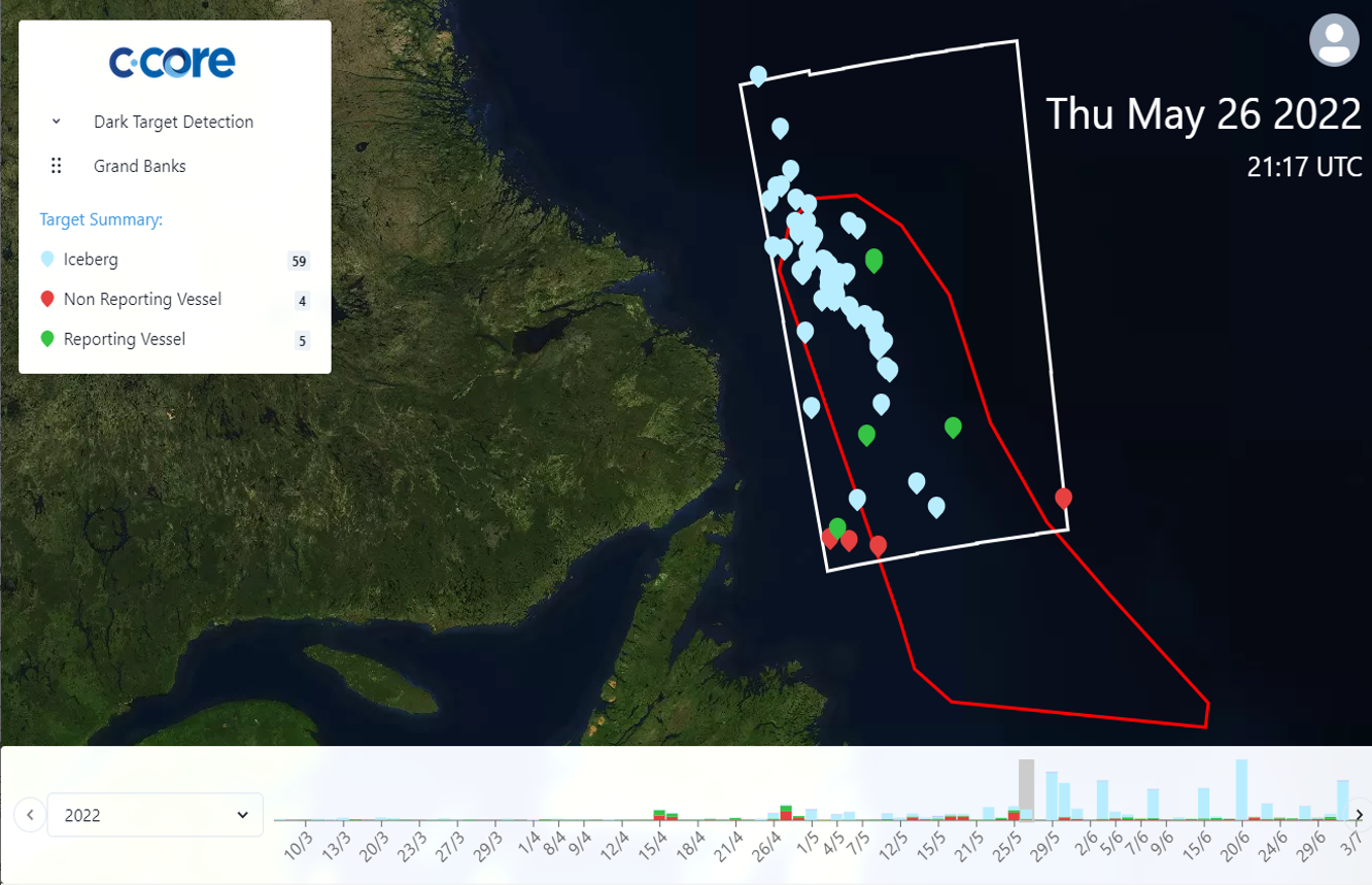
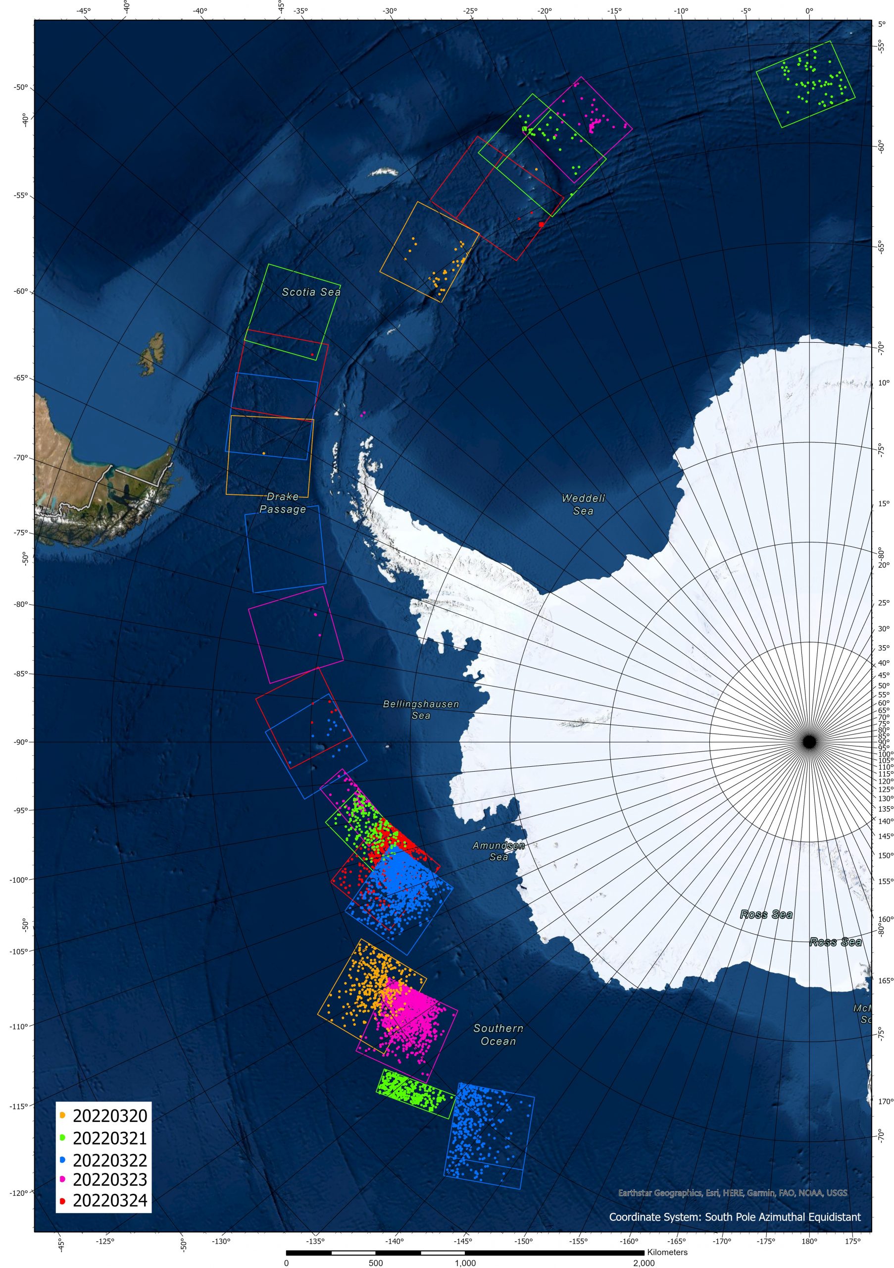
C-CORE is the world leader in satellite-based iceberg monitoring and has delivered monitoring services everywhere icebergs are present. Services are semi-automated using proprietary software followed by manual quality control. C-CORE has developed a proprietary software package called IDS that is used to facilitate this service. IDS is currently licensed to the International Ice Patrol (IIP) and Canadian Ice Services (CIS) to support their operations
Industries that have received iceberg detection services include:
Oil and Gas
Satellite-based products have been used to support mobilization/demobilization and report on iceberg concentrations close to critical operations such as scientific coring, 3D seismic, and drill string recovery. C-CORE currently monitors icebergs along the east coast of Canada and the Arctic. These data products are used to support long-term planning and iceberg forecasting and provide advance notice of potential icebergs of concern.
Tourism
C-CORE analyzes satellite images to support icebergfinder.com, a website dedicated to supporting the tourism industry through reporting iceberg locations around coastal Newfoundland and southern Labrador. The website provides links to amenities near iceberg sightings, allows visitors to upload their own photos and comments, and is connected with the network of visitor information centres across the province. Satellite-based data is excellent at covering large areas and filling in the gaps where tourists may seldom venture.
Yacht Races
C-CORE has supported numerous international yacht races by providing satellite-based iceberg detection products. Information is extracted from satellite SAR, optical, and altimeter sensors. Information on iceberg locations is used for route planning and to support the safety of the competitors.
C-CORE’s sea ice services are targeted at the oil and gas industry and supplement public ice charts by providing additional detail on ice concentration, floe size, and deformation features such as ridges and rubble fields.


