Accurate characterization of the ice environment within an operational area supports vessel and marine/seabed infrastructure design, and assists operators in identifying optimal operational windows and developing ice
management plans that minimize downtime and limit operational risk. C-CORE provides both current and historical information to define ice regimes.
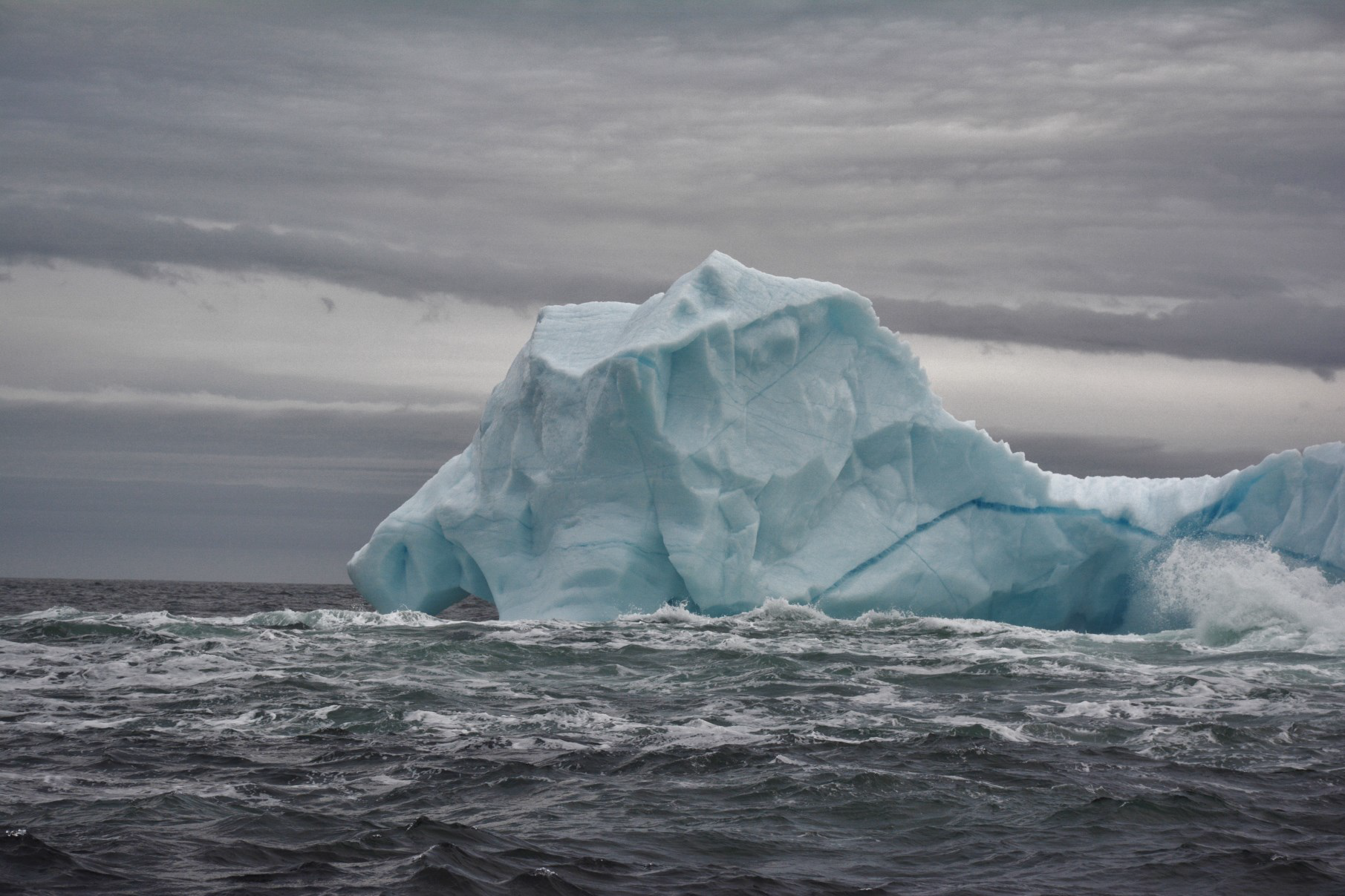
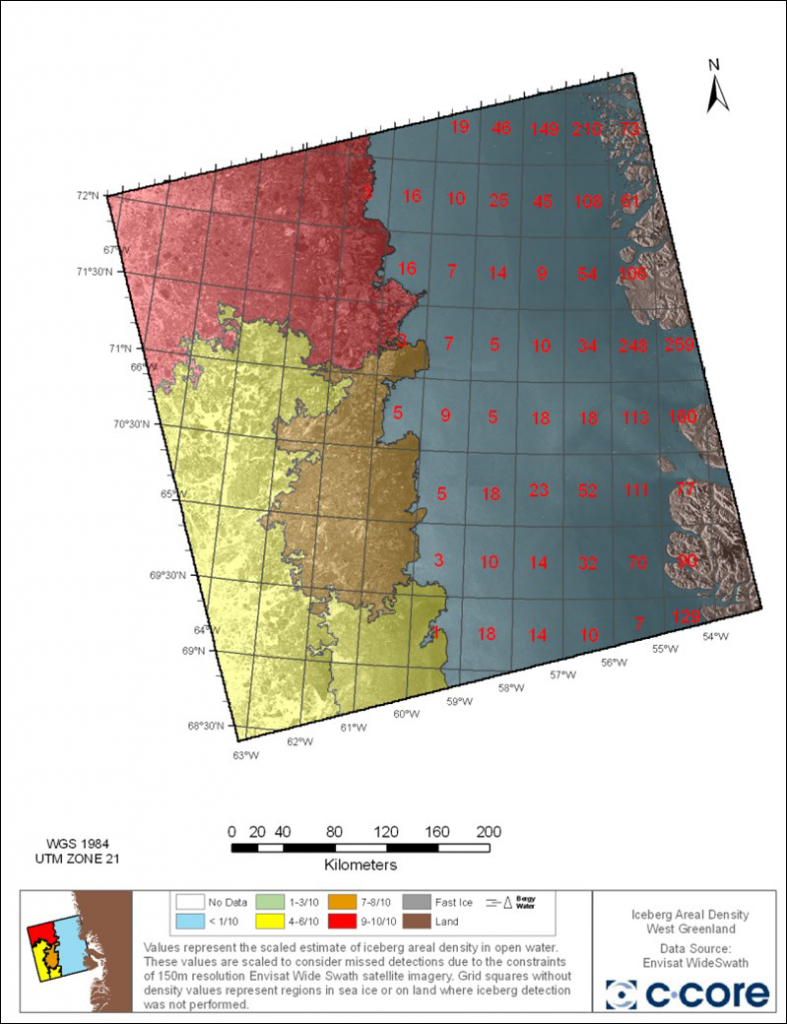
The ice environment is understood based on imagery from satellite and aircraft-borne sensors, along with in-situ measurement and field observations, which detail iceberg location, size, shape and areal density, as well as sea ice concentration, type and floe size.
In areas where infrastructure like pipelines and subsea wellheads are being considered, C-CORE also brings to bear its geotechnical expertise in interpretation of seabed data to determine potential for, frequency of, and depth of ice keel scour.


