Our Solution
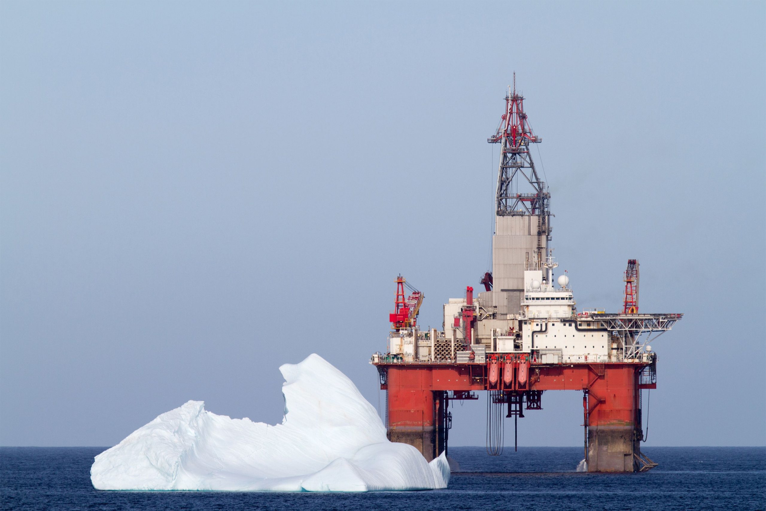
Our Coresight software and surveillance products are being used by defence contractors, maritime operators and civil protection agencies to analyze satellite data to detect and report suspicious vessels and ice hazards in an Arctic context. Commercial satellites from several providers are used to follow up on the suspicious. Coresight automates the download and analysis of the data, facilitates human quality control, displays results and generates reports.
We have a long history in maritime surveillance for commercial infrastructure protection and national defence. Our surveillance services help governments and industry monitor icebergs and vessels to ensure the safety of human lives, protect the environment, and guard against illegal activities. By taking advantage of publicly available datasets, we make it possible to conduct surveillance over large areas at low costs. Our maritime surveillance services are built on ongoing research and development that explores and develops best practices for detecting and identifying potential targets and disseminating results. Part of this research includes evaluating new satellites to determine which ones have the best technical characteristics and logistical capabilities for accurate and reliable target detection.
We are the world leader in satellite-based northern maritime surveillance and have delivered monitoring services everywhere icebergs are present. Our maritime surveillance software is currently used by MDSI (Danish), International Ice Patrol (division of US Coast Guard) and Canadian Ice Services.
Industries that have received maritime surveillance research and services include: